Plan shoreline protection, evaluate wave exposure, and develop native layouts and grading. ALBERT connects coastal analysis with your Civil 3D design workflow.
Civil 3D plugin in development. Free browser tool available now.
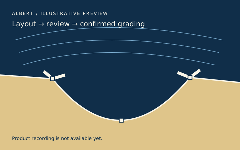
Shoreline & breakwater layoutPlan view
Structure endpoints · editable layout handlesAnimation placeholder · Civil 3D capture to follow
Planned Civil 3D workflow
From shoreline layout to engineering report
Eight stages for coastal engineers. Each step identifies the analysis or drawing output. Animations are schematic placeholders for future app recordings.
Step 01 / 08
Shoreline, breakwaters & stable embayments
Planned in Civil 3D
Define the project shoreline and locate breakwater endpoints. Develop candidate stable embayment locations and geometry for review in the Civil 3D drawing.
Output: Editable shoreline and breakwater polylines
Shoreline, breakwaters & stable embayments · schematic only. Actual app capture to follow.
Step 02 / 08
Directional fetch analysis
Premium browser analysis; Civil 3D integration planned
Evaluate the open-water distance from the site to surrounding shorelines by direction. Identify the sectors that expose the project to wind-generated waves.
Output: Fetch distances by direction
02 / Feature previewRecording placeholder
Directional fetch analysis · schematic only. Actual app capture to follow.
Step 03 / 08
Dominant wave conditions
Premium browser analysis; Civil 3D integration planned
Combine directional fetch with wind conditions to estimate wind-generated waves. Review dominant approach directions, wave heights and periods for the shoreline layout.
Output: Wind-wave height, period and direction
03 / Feature previewRecording placeholder
Dominant wave conditions · schematic only. Actual app capture to follow.
Step 04 / 08
Vessel wakes & structure sizing
Premium browser analysis; Civil 3D integration planned
Evaluate vessel-wake exposure and preliminary structure sizing. Review water levels and sea-level-rise inputs alongside the selected wave conditions.
Output: Wake estimates and preliminary structure dimensions
04 / Feature previewRecording placeholder
Vessel wakes & structure sizing · schematic only. Actual app capture to follow.
Step 05 / 08
Layout review & revision
Planned in Civil 3D
Refine breakwater positions and embayment geometry using the analysis results. Review the editable polylines and accept the layout before developing grading.
Output: Accepted layout revision
05 / Feature previewRecording placeholder
Layout review & revision · schematic only. Actual app capture to follow.
Step 06 / 08
Design elevations & feature lines
Planned in Civil 3D
Enter and confirm project elevations for the accepted layout. Derive native feature lines from the confirmed grading inputs.
Output: Confirmed elevations and native feature lines
06 / Feature previewRecording placeholder
Design elevations & feature lines · schematic only. Actual app capture to follow.
Step 07 / 08
Proposed surface & contours
Planned in Civil 3D
Build a proposed triangulated irregular network (TIN) surface from confirmed grading. Inspect surface geometry and contours in the Civil 3D drawing.
Output: Proposed TIN surface and contours
07 / Feature previewRecording placeholder
Proposed surface & contours · schematic only. Actual app capture to follow.
Document coastal inputs, calculations and method references. The planned Civil 3D handoff will connect the report with the accepted layout and grading.
Output: Analysis results, assumptions and references
Engineering report & design record · schematic only. Actual app capture to follow.
Available now / free browser tool
Test the shoreline geometry.
Place two headlands on the map and explore the embayment geometry. Use the free tool for a brief test of the planimetric shoreline methods behind ALBERT.
No Civil 3D installation required. Additional wave analyses and reports require premium browser access.
The animations are placeholders for recordings of the completed app. Actual feature captures will be added as development is completed.
Recording placeholder · actual Civil 3D feature capture coming after development.
Planned recording outline (not a transcript)
Define shoreline, breakwater and embayment locations; evaluate fetch and wave conditions; refine native polylines; accept the layout; confirm grading and inspect feature lines, proposed TIN and contours; then review quantities, report and save.
Monthly subscription. Pricing to be announced. The planned subscription includes applicable premium browser analyses and native Civil 3D layout and grading.